
Landscape Maps to Support Wildlife Research
Sustaining healthy herbivore populations requires us to understand their habitat and food resources. Yet most existing geospatial products lack the spatial and ecological resolutions to represent the landscape as animals see it. We addressed this need by creating accurate, high-resolution vegetation maps and developing standardized methods to collect, store, and analyze habitat and forage data. Our AKVEG maps are publicly available and free to use. They include quantitative, foliar cover maps of present-day conditions and time-series maps of plant functional types from 1985-2020.
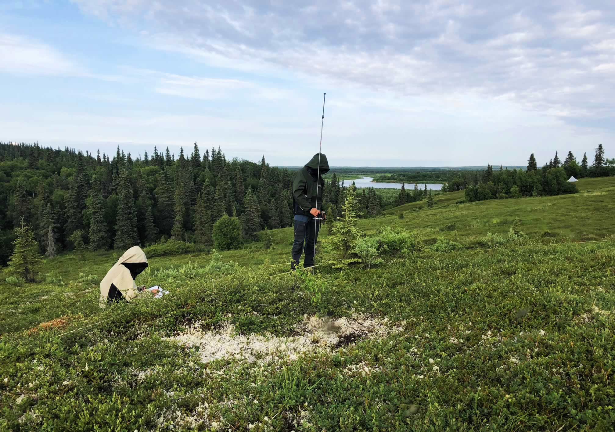
Sample Projects
Mapping forage biomass for moose in the Alphabet Hills
Collaborators: Kristin Denryter and Don Spalinger, Wildlife Nutrition Lab, ADF&G
Research Summary: The objective for this project was to quantify summer food availability for moose in the Alphabet Hills region. We were specifically interested in producing a predictive map of biomass per forage species and bite size category. To accomplish these objectives, we produced maps of edible forage biomass for a variety of forage species and bite sizes by linking field data to quantitative foliar cover maps. Our maps allowed us to quantify summer food availability for moose and visualize how the biomass of different forage species varied across the study area. Because part of the study area was in a prescribed burn, our results also elucidated how food availability is affected by fire history and habitat management techniques.
Habitat selection of female moose in Bristol Bay
Collaborators: Kassidy Colson and Jeff Stetz (ADF&G); Andy Aderman & Paul Schuette (USFWS)
Research Objectives: Quantify and map calving season habitat for maternal and non-maternal moose in the Bristol Bay region.
Publication: Droghini, A., T.W. Nawrocki, J.B. Stetz, P.A. Schuette, A.R. Aderman, and K.E. Colson. 2024. Variation in habitat selection among individuals differs by maternal status for moose in a region with low calf survival. Ecosphere 15:e70069. https://doi.org/10.1002/ecs2.70069
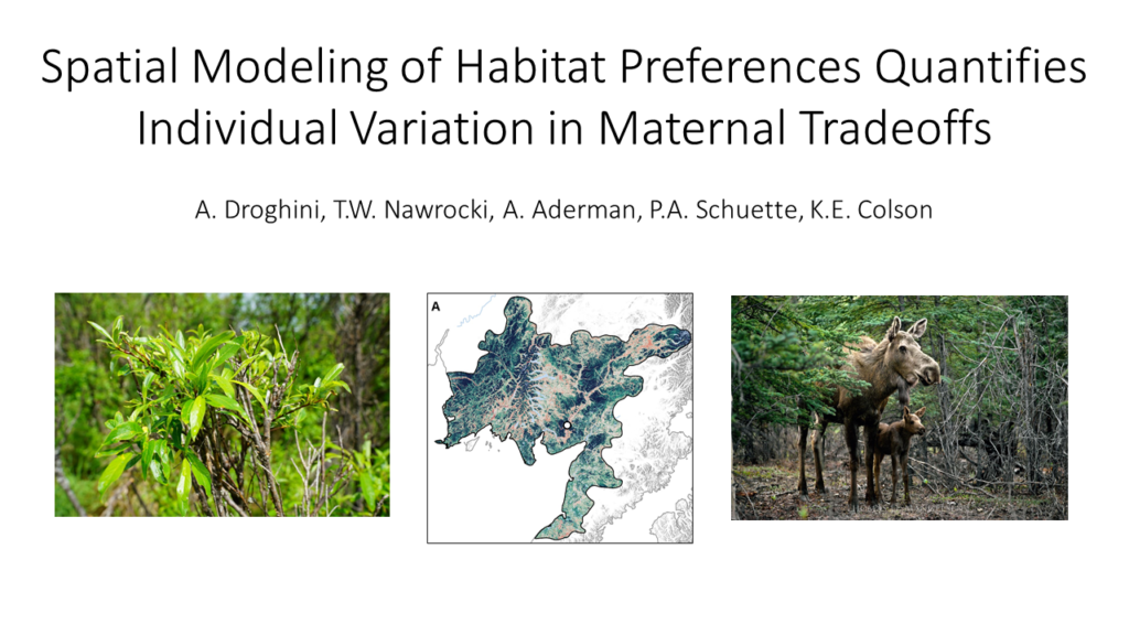
Click the title slide image below to watch a talk presented by Amanda on December 1st, 2021, on our work quantifying calving habitat selection for maternal and non-maternal females in Bristol Bay.
Publications & Datasets
Droghini, A., T.W. Nawrocki, J.B. Stetz, P.A. Schuette, A.R. Aderman, and K.E. Colson. 2024. Variation in habitat selection among individuals differs by maternal status for moose in a region with low calf survival. Ecosphere 15:e70069. https://doi.org/10.1002/ecs2.70069
Nawrocki, T.W., M.L. Carlson, A.F. Wells, M.J. Macander, E. Jamie Trammell, F.D.W. Witmer, C.A. Roland, D.K. Swanson. 2021. Continuous Foliar Cover of Plant Species and Aggregates in North American Beringia. Map User Guide and Accuracy Assessment. Version 1.0 (May 2021). Available on the ACCS Catalog.
Droghini, A., and T.W. Nawrocki. 2021. Habitat Selection of Moose during Calving Season in Southwest Alaska. Git Repository. Available: https://github.com/accs-uaa/southwest-alaska-moose
Nawrocki, T.W., M.L. Carlson, J.L.D. Osnas, E.J. Trammell, and F.D.W. Witmer. 2020. Regional mapping of species-level continuous foliar cover: beyond categorical vegetation mapping. Ecological Applications. DOI:10.1002/eap.2081.
Nawrocki, T., M. Carlson, J. Osnas, J. Trammell, and F. Witmer. 2019. Foliar cover models for five common plant species in arctic Alaska circa 2014 (30 m). Knowledge Network for Biocomplexity. DOI:10.5063/F1ZW1J8P.