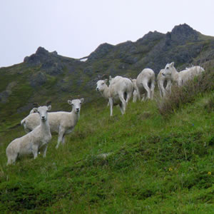
Research, conservation, and effective natural resource management often depend on maps that characterize vegetation and associated environmental patterns. Vegetation and wetland ecologists at ACCS develop vegetation and wetland maps to spatially describe patterns of vegetation community composition and structure, wetland types, and associated environmental features for terrestrial landscapes across Alaska. Our mapping approach extends field observation data to analyses of phenomena that occur beyond the site scale, such as wildlife habitat and nutrition.
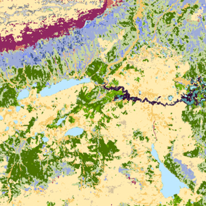
As part of a multi-organization collaborative team, we contribute to the development of the Alaska Vegetation (AKVEG) Map coordinated by the Alaska Vegetation Working Group.
Visit the following related pages on wildlife habitat and nutrition or the AKVEG Map and Database using the buttons below: